Mapas de Qaanaaq
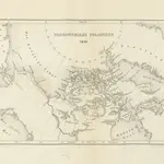 1860|PETERSEN, Carl Naturalist
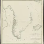 1828|entworfen und gezeichnet von Theodor Gliemann1:5 000 000
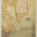 1867|Justus Perthes1:3 000 000
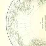 1856|A. Fullarton
 1857|BLACKWOOD, Frederick Temple Hamilton Temple Marquis of Dufferin and Ava
 1875|Ziegler, Jakob Melchior1:23 000 000
 1853|Miniscalchi-Erizzo, Francesco1:11 800 000
Mapas antiguos de Qaanaaq
Descubra el pasado de Qaanaaq en mapas históricos
Mapas antiguos de Qaanaaq
Descubra el pasado de Qaanaaq en mapas históricos
En busca de un Google Maps API Alternativa?